Trip Report: Whitney Summit Attempt
6.6.2019
I joined Frank and May May this week on a Mount Whitney summit attempt via the main trail. Anyone following the current Sierra conditions will likely be aware that the snowpack this year has been fairly ridiculous (~200% of average at peak), making even the main trail in June still largely snow-covered. Briefly, Whitney is the highest mountain in the contiguous United States at 14,505’; it’s kind of funny to keep in mind that there are a multitude of peaks that are just a few dozen feet lower, while Alaska has fully 10 peaks that are taller than Whitney, including Denali at 20,310’. I had no prior mountaineering experience before this trip and honestly did not train much as the invitation to join was fairly last-minute. I wouldn’t recommend learning mountaineering skills this way and would encourage anyone to get formal training in the necessary techniques first; I would take a skills course before attempting another similar trip.
On this trip I went light and only brought my Fuji X100. These photos are a mix of X100 and iPhone X.
We left San Jose around 6:30 AM on Wednesday and took the southbound I-5 to 395 route to Lone Pine, where we picked up our permits and wag bags at the Eastern Sierra Interagency Visitor Center. We grabbed lunch at Los Hermanos taco truck across from the Mobil in town before heading up to Whitney Portal campground (elevation ~8,000 feet), where we had a site reserved for Wednesday and Thursday nights. This gave us some 12 hours to acclimate at elevation; additionally, I took 800 mg ibuprofen between arriving at camp and going to sleep to preempt AMS as I have had rough times with elevation in the past. Temperatures dropped drastically from around 100F in Lone Pine to closer to 60F at camp. After making camp, we drove back down to Lone Pine for a quick dinner at Pizza Factory before turning in around 8:30 PM. I had some trouble falling asleep until probably 9:30 or 10 PM and woke up periodically throughout the night.
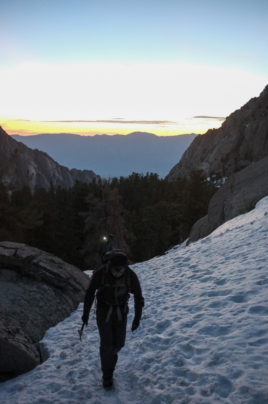
Thursday morning we were up at 2 AM for a projected start time of 2:30 AM. Breakfast was bananas, peanut butter, tortillas, and coffee, and apparently took a little longer than we hoped–after eating and loading up our gear we ended up starting the hike just before 3 AM. We began to encounter snow at around 9,000 feet and maybe 1.5 miles from the trailhead, and between the snow and the dark we were soon unable to follow the main trail. We hiked along the quite clear tracks in the snow made by previous hikers and stopped to switch to crampons and ice axe roughly 0.75 miles before reaching Outpost Camp at sunrise around 5:30 AM.
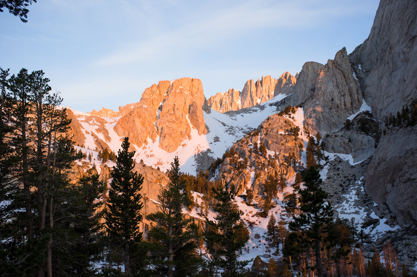
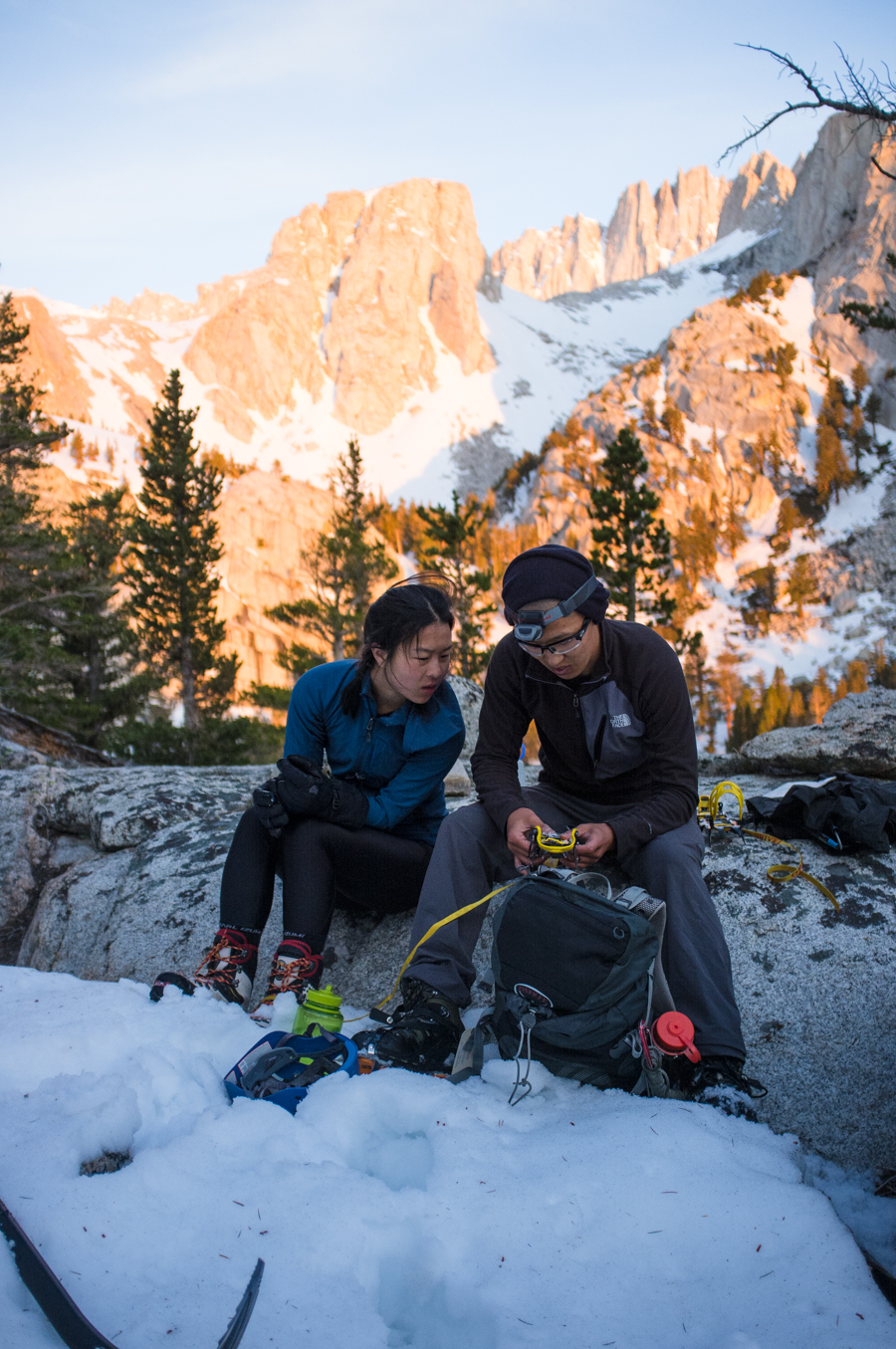
We paused here to address some gear troubles and have some “brunch” before continuing. The morning alpenglow was absolutely incredible here, illuminating the rock behind us with a series of pink, then vibrant red-orange, then a light orange and yellow before daylight truly broke.

From Outpost Camp, we ended up following the wrong set of tracks, going south and then up a steep chute rather than looping around in a more westerly direction, and I think we basically completely missed Mirror Lake due to this navigational discrepancy. We did find a fair amount of booty in the chute (an old ice axe, trekking pole, and some gloves).
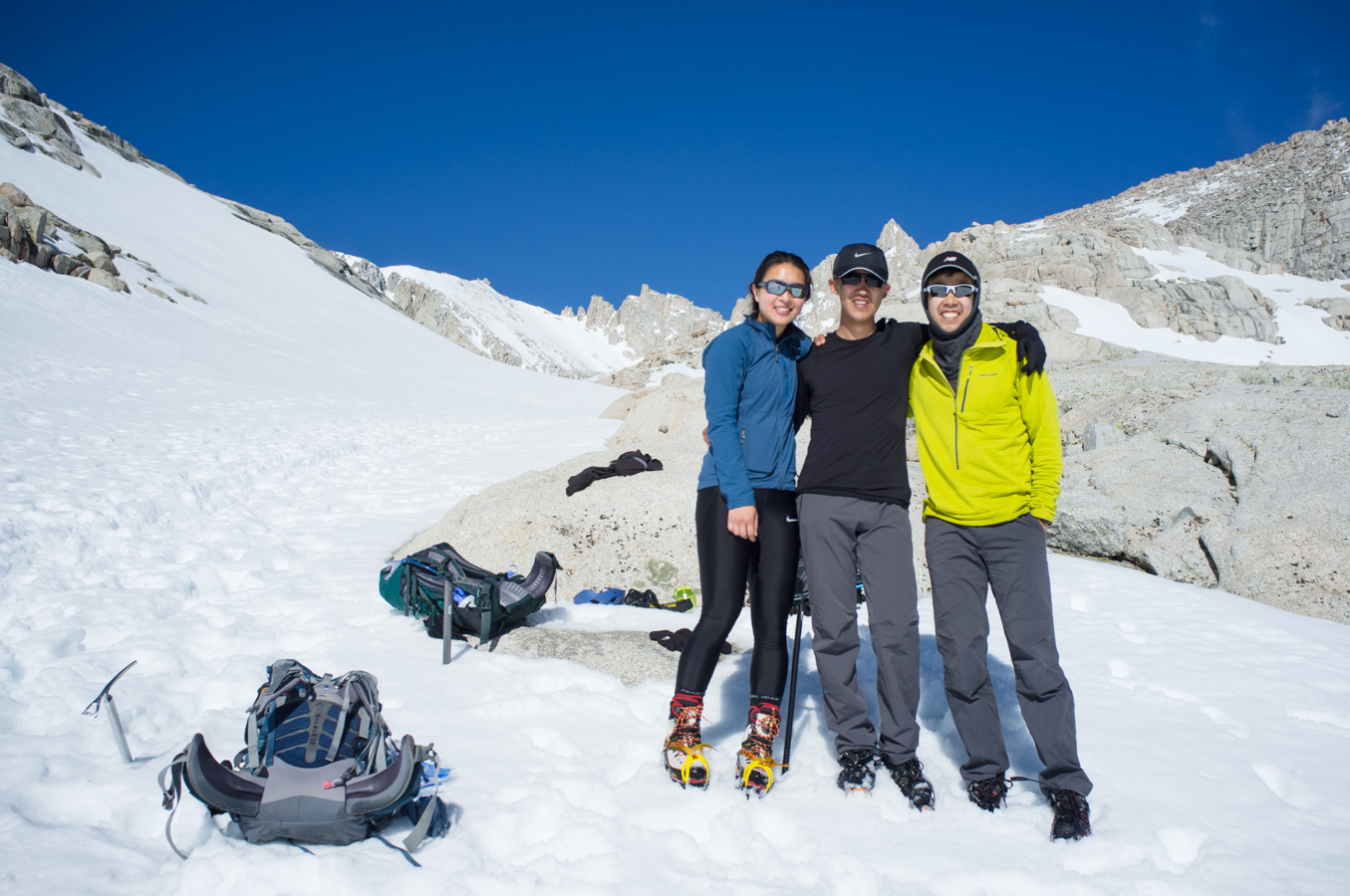
From here it was a gradual climb up to Trail Camp, passing a totally frozen and snowed over Consultation Lake on the way.
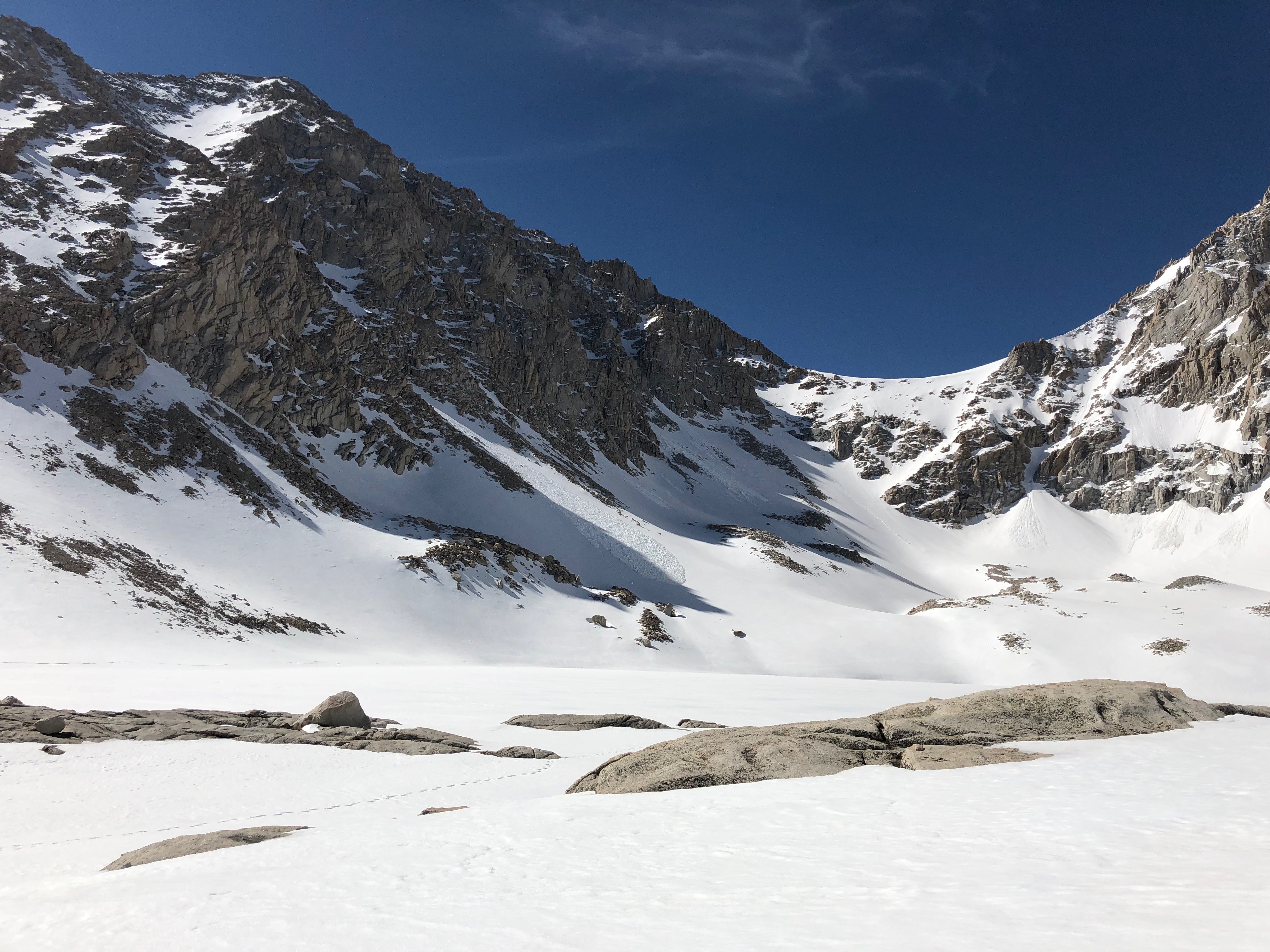
It was quite helpful to switch back to trekking poles here as the slope was pretty gradual. The sun beat down pretty hard, and combined with the reflection from the snow I was glad to have a hat and wool buff to use as sun protection. I did miss a sunscreen spot on my upper lip and now am suffering the consequences as I write this.
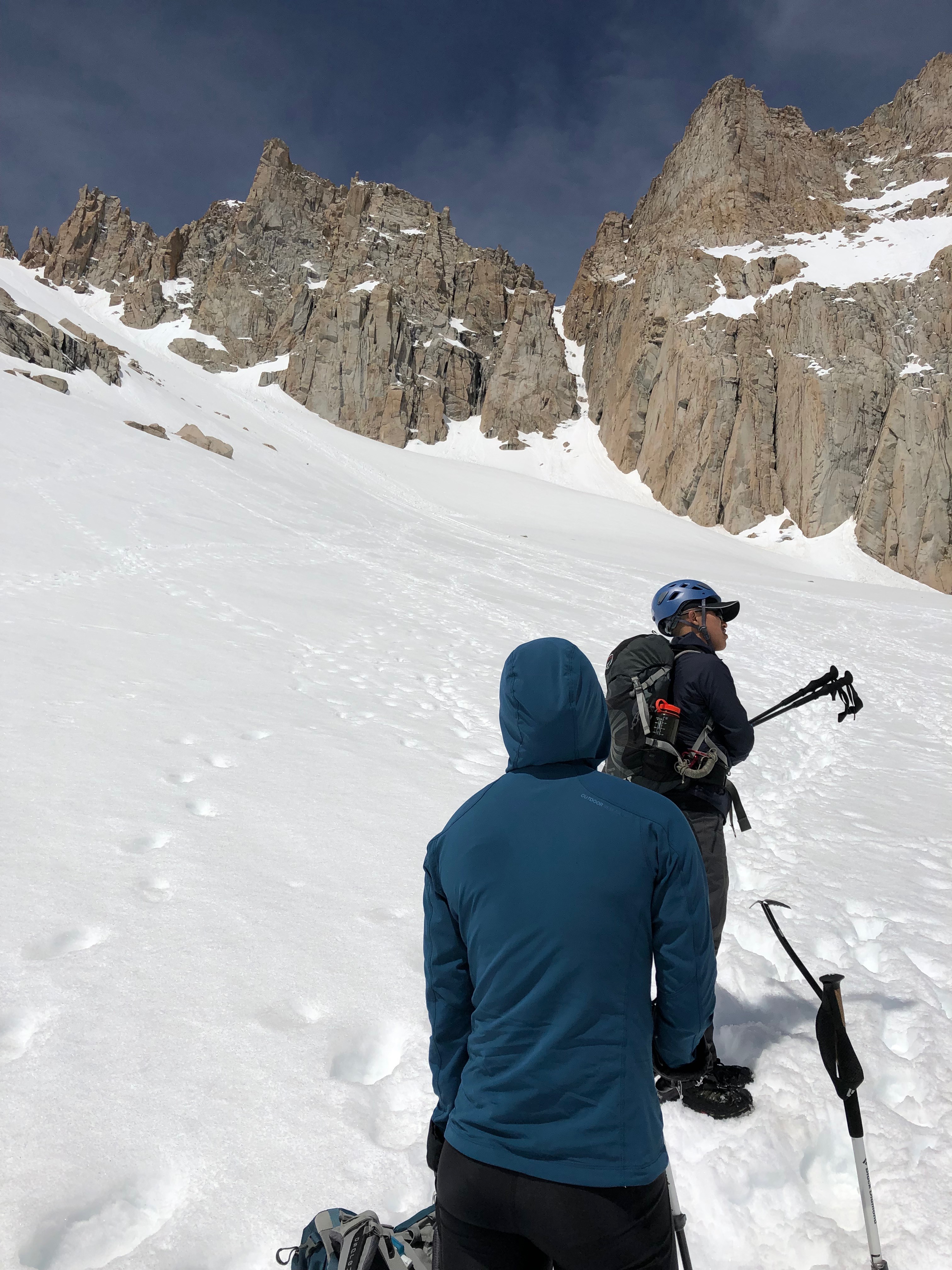
We had a great lunch of everything bagels and tuna packets near Trail Camp before making the push up the chute to Trail Crest. It took us about 2 hours to make our way up, climbing about 1,500 feet. There were some nice lengths of kicked steps and the snow was still pretty solid underfoot. We took another break at Trail Crest before continuing toward the summit with about 2 miles to go. At this point it was around 2 PM and the snow on the trail was beginning to get slushy. We continued about a mile before I decided to bail, I felt uncomfortable with the exposure of the trail combined with my level of tiredness. Frank and May May continued on a bit but also returned shortly, as they judged that it was too late in the day to make the summit and make the descent in a safe and reasonable time frame. The decision to bail when the summit is only a mile away is a tough one to make, but I think it was the right move.
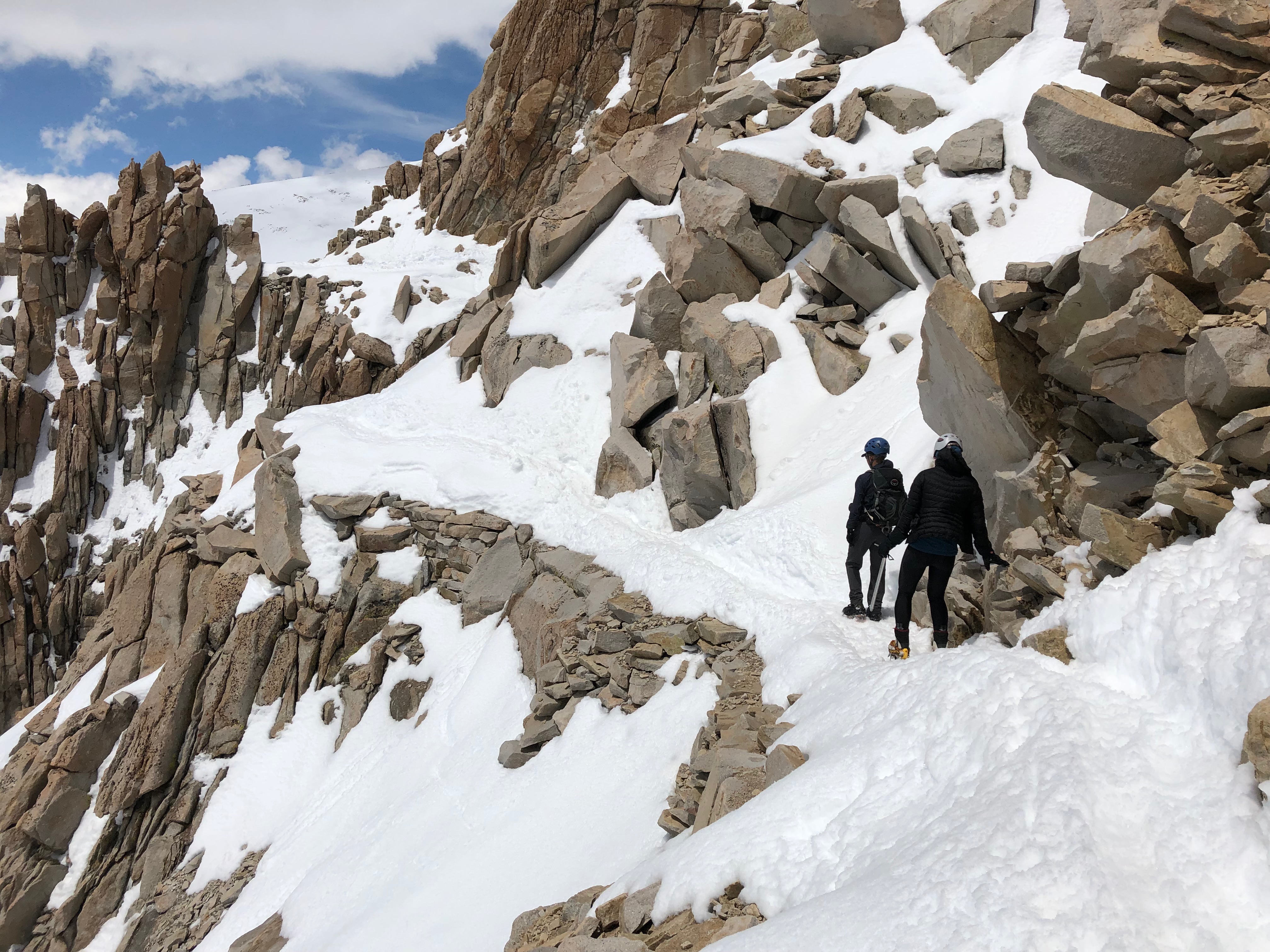
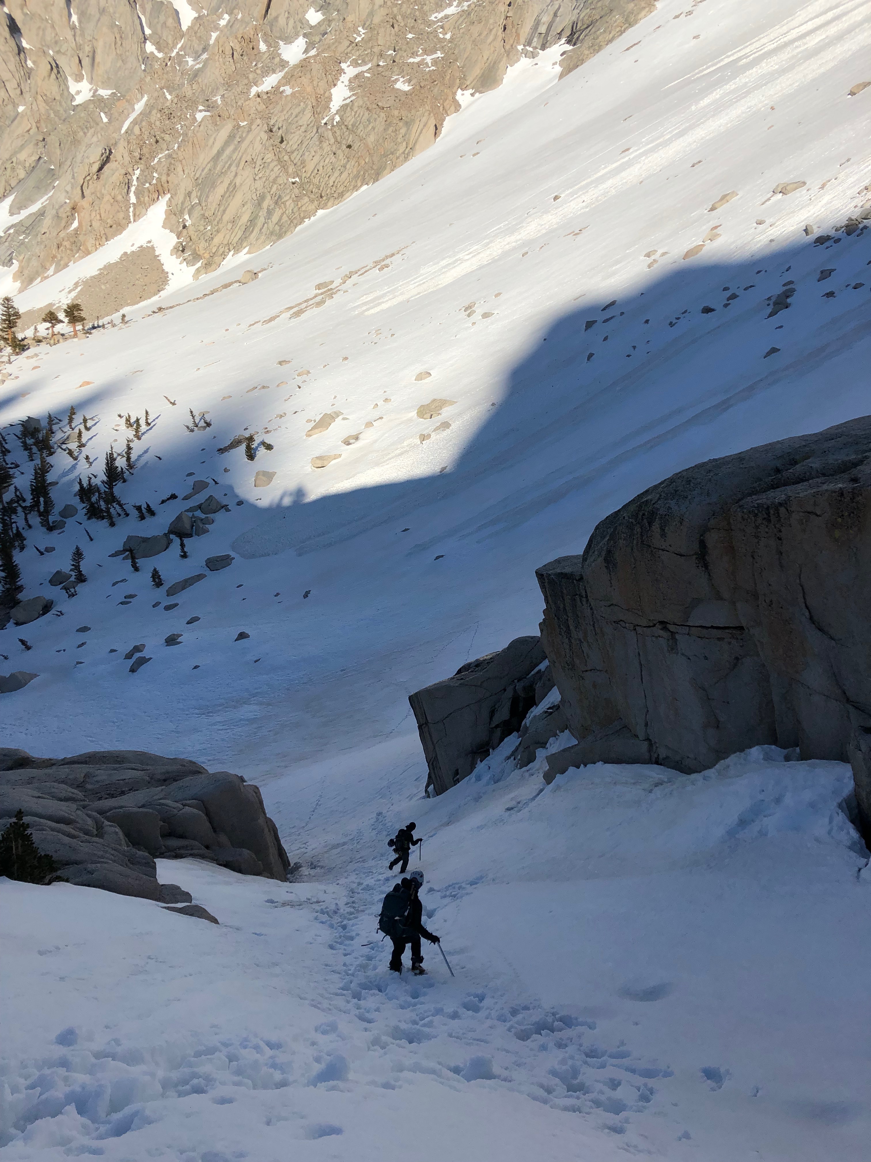
Getting back down was one of the most mind-numbingly mentally difficult things I’ve ever done. We glissaded down from Trail Crest, where my pants and socks became totally waterlogged. My boots were basically soaking wet at this point, so changing socks only improved things for a few minutes before they became soaked through. We pretty much stumbled back down the same route we took on the ascent, opting to stick to a route that we at least were familiar with. I just remember having a singular feeling of wanting to get down as quickly as possible. A lot of stretches of gentler slopes I half-hiked half-ran in the slushy top snow layer using my ice axe for stability if I slipped a little. We finally returned to the car close to 9:00 PM, making for a grand total of about 18 hours on the mountain.
Thoughts on gear
I had a few new pieces of equipment this trip that performed quite well. The largest was a new 2019 Subaru Crosstrek, which did outstandingly with one caveat: the engine lacks sufficient torque to confidently climb up high passes. I found that often times the only way to get up significant grades was to lock the CVT into artificial first gear, and even then it struggled quite a bit on the uphill portion of 108 heading west. Other than that, it proved to be spacious, comfortable, quiet, and fairly fuel efficient.
I was pretty pleased with the 60 cm Petzl Glacier ice axe I used on this trip. I likely could have gone up to a slightly longer axe, but on steep snow 60 cm was totally sufficient and very maneuverable for use as a cane, for self-arrest, and while glissading. I felt that the Black Diamond Raven axes had a marginally more comfortable head to grip, but the Glacier was significantly lighter.
I was also very happy with the REI Traverse 35 pack I picked up. My pack options while preparing for the hike were essentially a large 60 L frame pack or a very light REI Flash 18, which is pretty much a stuff sack with straps. I wanted a smaller pack with a frame and hip belt and the Traverse compared favorably to the Osprey Kestrel and Talon packs that I considered. Interestingly, a BV500 bear can also fits in this pack with room for my sleeping bag and tent, so I may be able to use this pack for very minimal backpacking trips as well. It carried a load of roughly 15 pounds very well and I experienced no discomfort whatsoever.
My pants got cold and wet from glissading, and some Gore-Tex pants would be a good idea if I pursued this further. Warmer and waterproof gloves would also be much better to have.
This is not gear, but go eat at Alabama Hills Cafe if you are ever in Lone Pine for anything at all. You won’t regret it.

